Satellite Maps Reveal Scale of Brick Kiln Pollution in India
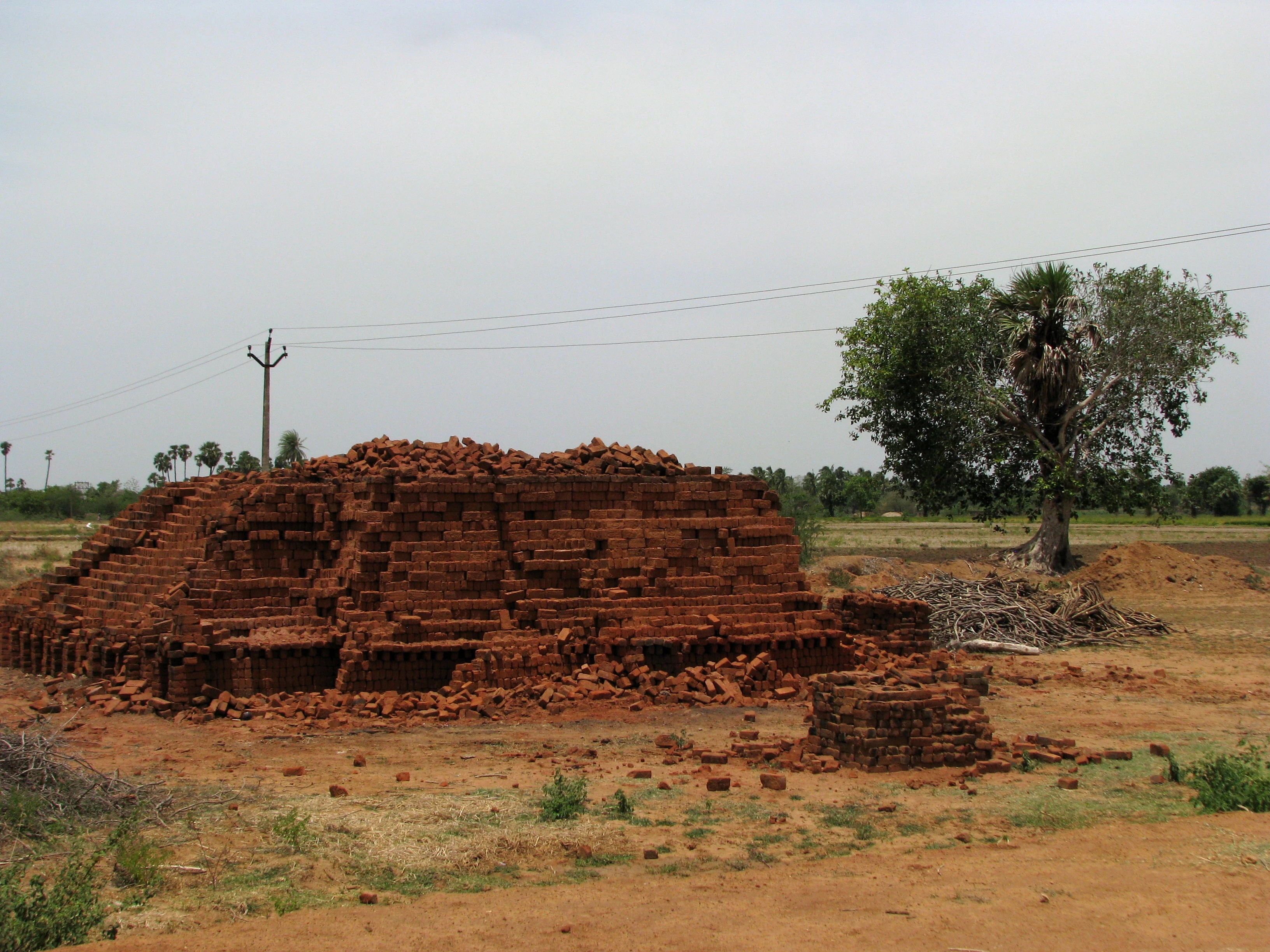
Researchers from IIT Bombay have created the first nationwide satellite maps to document India brick kilns. The maps cover the period from 2019 to 2025 and show how the massive brick production sector functions across the country. This industry accounts for 15 percent of India particulate matter and 6 percent of its carbon dioxide emissions. The findings were published in the International Journal of Applied Earth Observation and Geoinformation.
Technology and Data Collection
The research team used Sentinel-2 satellite imagery and a deep-learning model to classify different kiln types. This project generated an open training set named MuTBriK. The dataset includes 10,480 satellite patches covering 20,356 square kilometres. It classifies kilns into five distinct types such as zigzag firing, circular brick trench kilns, and conventional fixed chimney designs. The team shared their code and mapping data for public use on Zenodo via DOI 10.5281/zenodo.18301279.
Regional Distribution and Pollution
Geographic analysis shows that about 60 percent of these kilns are in the Indo-Gangetic Plains. Uttar Pradesh has the highest number of kilns, followed by Bihar. States like Rajasthan, West Bengal, Assam, Punjab, and Haryana also contain significant numbers according to the Tribune on 22 September 2026. Industry estimates suggest over a million kilns operate across India. They consume about 35 million tonnes of coal and 25 million tonnes of biomass every year.
Regulations and Future Compliance
A 2017 directive from the Central Pollution Control Board requires a transition to cleaner zigzag firing designs. Researchers state this shift can reduce energy consumption by 20 to 30 percent while lowering total emissions. High upfront costs and limited awareness among operators currently slow down this transition. Environment ministries and pollution control boards now have access to these open GeoJSON maps to assist with future inspection strategies.